Blog

  • TcpMDT for BricsCAD 22

    TcpMDT for BricsCAD 22

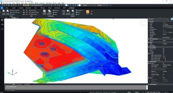
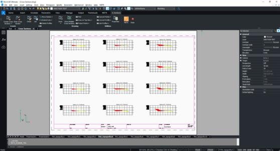
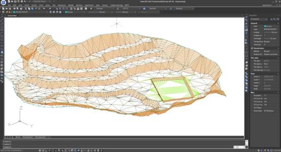
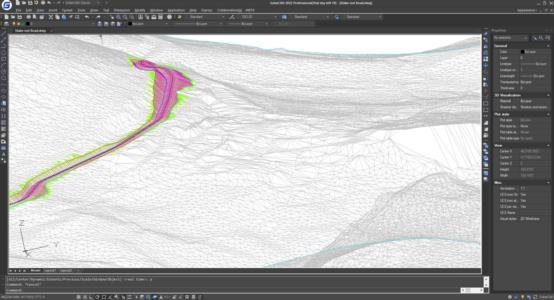
    TcpMDT 8.5 for BriscCAD 22® is now available. Among the innovations it brings to the product portfolio are improvements in performance, design, construction and manufacturing workflows.

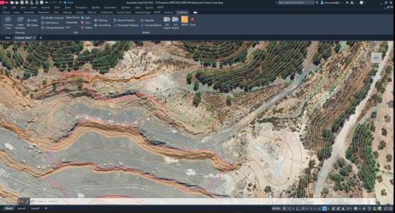
    The main innovation of TcpMDT lies within the visual features, ribbon menus have been introduced to improve navigation and user experience.

    Used by thousands of users in different countries around the world, TcpMDT is a complete and scalable solution for the realization of all types of topographic projects, we will be able to model from the terrain of a plot of land to a complex urbanization project.

    This new option is available in the TcpMDT installation for all users with current maintenance contracts and for newly acquired licenses.

    Discover TcpMDT

    What’s new in BricsCAD V22

  • Collaboration with Teria

    Collaboration with Teria

    Malaga, Spain. 4 of May 2022 – Aplitop announced today its collaboration with TERIA, an expert in geolocation that offers solutions with its GNSS receivers for surveying projects.

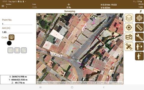
    This collaboration provides surveyors with a complete hardware solution from TERIA including NRTK & SSR corrections with accessories and a complete software solution from Aplitop. Combining the accuracy and performance of TERIA's equipment with the simple workflows of Aplitop's TcpGPS application, users will have a competitive solution that will increase productivity within their field surveying projects.

    From the use of the software with TERIA terminals we can highlight:

    –          Data collection and stakeout for all types of surveying projects

    –          Basemaps with global coverage, cartography and map web services

    –          Collaborative work with data exchange in the cloud

    Aplitop Comment

    “We are pleased to partner with TERIA to introduce this solution globally to surveying and construction professionals,” said Francisco Navarrete, CEO of Aplitop. "This combination increases productivity on site and also saves time in the office."

    TERIA Comment

    "Our partnership with Aplitop allows us to offer our customers an easy-to-use solution that cover most of the geomatics needs. In addition, because the solution is connected, it can be easily updated and communicate with the office in almost real time. While corrections are provided in real time through Network-RTK service, the points are stored and transmitted via the Internet to the office. “Paul Chambon, Chief Technical Officer of TERIA.

    Availability

    The TcpGPS application is available through Aplitop's international network of distributors. You can find out more information in the TcpGPS for Android section of the website or by writing to sales@aplitop.com. For more information about TERIA's equipment, you can visit the TERIA Solutions section of their website or send an email to contact@reseau-teria.com.

    About TERIA

    Born from the dream of making its mark on the evolution of surveying techniques, TERIA has placed the Expert Surveyor at the heart of the company's new challenges.

    Since its foundation in 2005, TERIA has been extending its services to all geolocation players, with the aim of creating a unique georeferencing tool for the entire profession.

    For more information, visit this article on their website https://www.reseau-teria.com/language/en/2022/05/04/aplitop-an-international-collaboration
  • TcpMDT for AutoCAD 2023

    TcpMDT for AutoCAD 2023

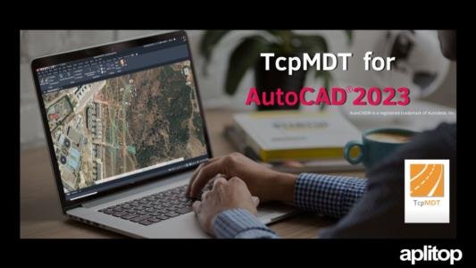
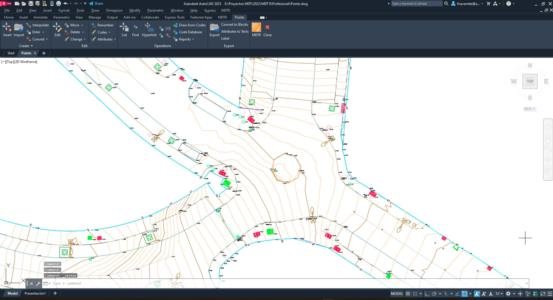
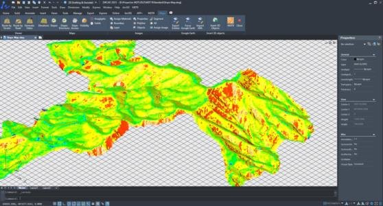
    The new version of MDT 8.5 for AutoCAD® 2023 is now available.

    The combination of TcpMDT with this software will help you to improve the performance of your surveying projects. Support for AutoCAD 2023 is free for all users with current maintenance.

    For more information about AutoCAD 2023

    For more information about TcpMDT

  • New TcpGPS version 2.3

    New TcpGPS version 2.3

    This update is now available, which includes the following new features, among others:

    – Representation of blocks in DXF and DWG layers

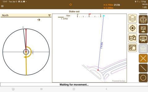
    – Staking out intersections 

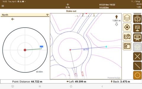
    – Center circle stakeout

    – Import of CSV files

    The app is available through Google Play. Users who have automatic updates turned on do not need to take any action.

    Check all the news

    TcpGPS on Google Play


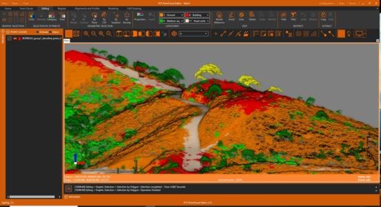
  • New version 1.4 of Tcp PointCloud Editor

    New version 1.4 of Tcp PointCloud Editor

    We continue working, adding new features to the application and optimizing its performance, to make it even more versatile.


    Featured news:

    – New point rendering system, with improved density and fluidity of the viewer

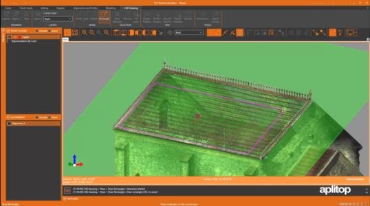
    New plane reference mode for precision drawing


    Featured improvements:

    Direct category assignment, with multiple selectors

    – Improvements in speed in the change of visibility of categories and activation of point clouds

    Product page

    Changes history

    Downloading the latest version is available to users with a current maintenance contract. If you don't have it yet, click on the following link and discover its advantages.

    Advantages of the maintenance contract


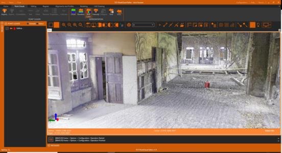
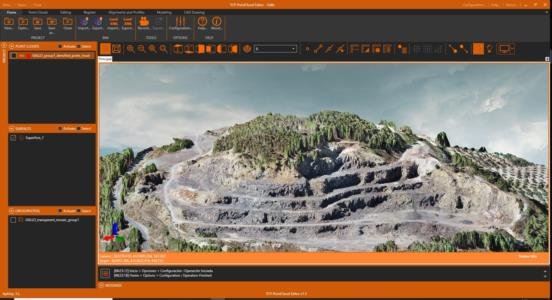
  • New version of Tcp PointCloud Editor

    New version of Tcp PointCloud Editor

    We continue working so that you can get the most out of this software and achieve success in your projects, which is why the following new features and improvements have been introduced for version 1.3, among others:

    Featured news:

    – Representation of surfaces with orthophoto texture.

    – Ability to set a Skybox as the background of the 3D viewer.

    – Assignment of BIM properties to project, site, grids, surfaces, alignments and 3D objects.

    Featured Improvements:

    – Optimization of pyramidal grid management speed.

    – Improvements in the import or export of Recap, E57, LAS and IFC files.

    Product page

    Changes history

    Downloading the latest version is available to users with a current maintenance contract. If you don't have it yet, click on the following link and discover its advantages.

    Advantages of the maintenance contract

  • Christmas Holidays

    Christmas Holidays

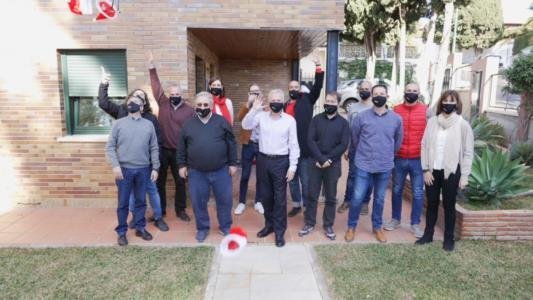
    The Aplitop team wishes you happy holidays and a prosperous new year.

    https://youtu.be/5TTUKqgj000

    Our offices will be closed for vacations until next 03/01/22.

    For support issues, you can watch our training videos at https://www.aplitop.com/video-library.

    For commercial inquiries, you can leave your contact by clicking here and we will be happy to get back to you.

    See you soon!

  • Release of TcpGPS 2.2

    Release of TcpGPS 2.2

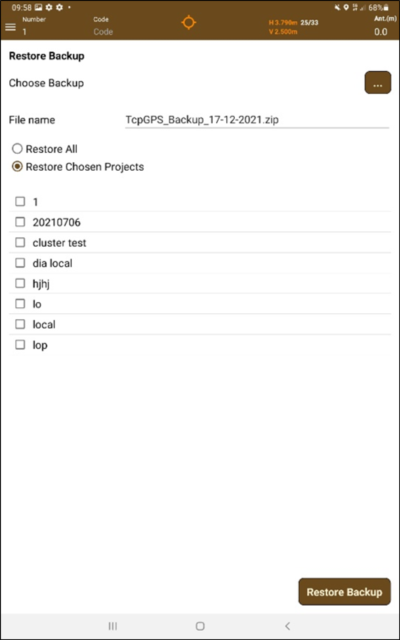
    Announcing the launch of this new version, which includes as main novelty the modification in the behavior of applications oriented to Android 11, with important changes and restrictions to improve user privacy. Users with projects created in previous versions must perform a migration of these files, following the proposed steps as explained in the technical note.

    Other new features and improvements are:

    – Backup and restoration of projects

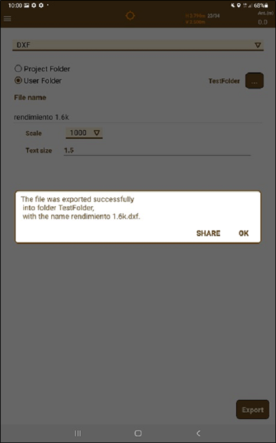
    – Share exported files

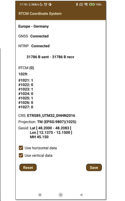
    – Create coordinate systems from RTCM messages

    – New coordinate systems and geoids

    – Export improvements

    – Improvements in the management of DXF, DWG and KML layers

    The application is available through Google Play in Spanish, English, French, Portuguese (traditional and Brazilian), Finnish and Dutch.

    Check all the news

    Techical note about migration of existing project files

    TcpGPS on Google Play

  • Holiday Notice

    We inform you that our offices will be closed the December 6th and 8th for bank holidays.

    We remind you that in the support area of our website and on our YouTube channel, you can find information and examples of use of our applications.

  • A new version of Tcp MDT 8.5 with GStarCAD Professional 2022 is available

    A new version of Tcp MDT 8.5 with GStarCAD Professional 2022 is available

    Users will receive an efficient and cost-effective solution to continue managing and developing new CAD surveying projects.

    New enhancements have been implemented to keep GstarCAD as the most compatible alternative to other platforms already on the market.

    This option is ready for users with current maintenance contracts as well as for newly acquired licenses.

    Surveying applications

    Datasheet

    Video