Blog

  • Release of Tcp PointCloud Editor

    Release of Tcp PointCloud Editor

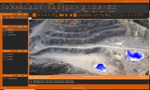
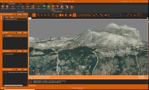
    Announcing the release of Tcp PointCloud Editor, a powerful independent application that allows you to display, edit and analyze clouds of millions of points captured by fixed or mobile scanners, LiDAR technology or generated by photogrammetry applications.

    Among its functions we can highlight the following:
    – Import and export in the most common formats on the market
    – Symbology of points by color, intensity, time and category
    – Displacements, rotations, transformations and registration with control points
    – Selection of points and by geometry or attributes
    – Editing of points with the possibility of deleting them, changing their category, hiding them, etc.
    – Filters by density, insulation, terrain, etc.
    – Generation of surfaces and meshes
    – Mesh editing
    – Import and creation of alignments
    – Quick, longitudinal, cross-sections and coplanar profiles
    – Calculation of cut and fill volumes
    – CAD drawing with import and export of DXF / DWG
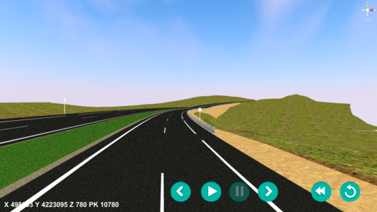
    – Creation of video walkthrough
    – Export to 3D PDF

    Product page

  • Aplitop solution Finalist in the Ground Engineering Awards

    Aplitop solution Finalist in the Ground Engineering Awards

    London, August 26th, 2021

    The Ground Engineering Awards brings together the leaders of the industry to celebrate the achievements of projects, people and businesses across geotechnical engineering. 

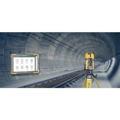
    Topcon Positioning GB has presented in the Equipment Innovation category the project "Expanding the Old Ulriken Railway Tunnel in Norway", in which our TcpTunnel Scan application is being used with the Topcon GTL-1000 robotic total station.

    This solution has been included in the shortlist as finalist. The awards ceremony will be held in London on November 23, 2021.

    Ground Engineering Awards

    TcpTunnel Scan Product Page

    Ulriken Tunnel case study

    Topcon-Aplitop Liaison for Tunneling Market


  • Summer Holidays

    Summer Holidays

    We inform you that our company will be closed for holidays from August 16th to 20th.

    For questions related to technical support you can follow the following link:

    Technical support


  • Introducing MDT for ZWCAD 2022

    Introducing MDT for ZWCAD 2022

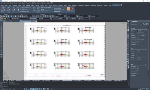
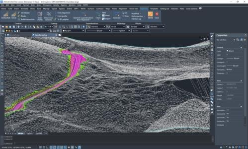
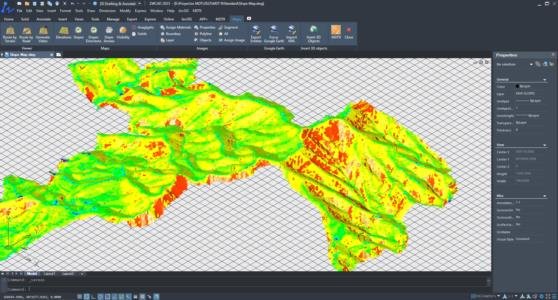
    Announcing the availability of MDT 8.5 for ZWCAD 2022, among whose novelties we can highlight:

    – Coexistence of classic menu and ribbon menu, now compatible with MDT

    – Direct import of IFC files

    – Create a planar projection of the outline of a 3D entity

    – New measurement of geometry and physical properties of objects

    – Data extraction improvements

    This update is free for all users with active subscription. Users of previous versions or without subscription can purchase an upgrade through their distributor.

    MDT Product Page
    New Features and Enhancements in ZWCAD 2022

  • TOPCON and APLITOP sign a liaison for the tunneling market

    TOPCON and APLITOP sign a liaison for the tunneling market

    Málaga (Spain), 27 May 2021

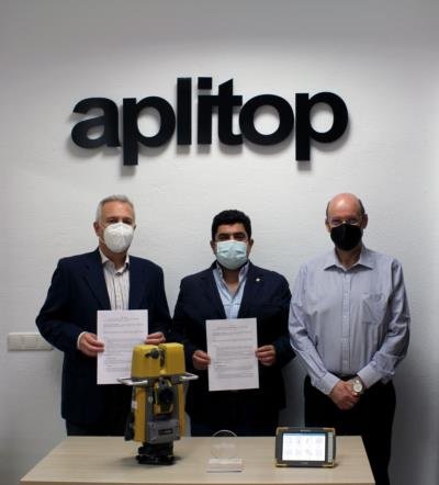
    The intention of this liaison is the collaboration of Aplitop with Topcon’s distribution network to identify suitable projects and promote the use of Topcon GTL-1000 into them.

    Based on TOPCON technology in robotic total stations and terrestrial scanners, APLITOP has developed TcpTUNNEL Scan, an application for the control of tunnel works in real time for these TOPCON scanning robotic total stations.

     The unique features of this solution allow to have accurate information on the current state of construction in the tunnel itself, without the need for post-processing in the office and facilitating decision-making, avoiding the work stoppage of expensive machinery and personnel.

    Topcon Positioning Group, always one step ahead in technology and customer benefits, is an industry leading designer, manufacturer and distributor of precision measurement and workflow solutions for the global construction, geospatial and agriculture markets.

    Aplitop  is a company specialized in the development of applications for Topography and Civil Engineering, since 2004. Aplitop main clients are public administrations, construction companies, engineering studies, urban planning, quarry operations and Aplitop products are implanted in more than 86 countries.

    TcpTunnel Scan product page

    Promotional video


  • Collaboration with the LEICA GEOSYSTEMS CPE

    Collaboration with the LEICA GEOSYSTEMS CPE

    We are proud to announce our collaboration with the Leica Geosystems CPEC.

    Now maximum efficiency can be achieved with a Leica Geosystems CPE certified reconditioned equipment and Aplitop software to have a complete solution. It is very easy to exchange data with a GNSS receiver or data controller and work on surveying projects, from modeling a plot to housing developments, roads and other infrastructures. It can also be integrated into GIS and OpenBIM workflows.

    TcpMDT, used by thousands of users around the world, is a modular, cost-effective, and easy-to-use application that is installed as a plug-in over all major CAD standards. You can choose between permanent or annual licenses.

    The Leica Geosystems CPEC  (Certified Pre-owned Equipment Center) provides reconditioned and used surveying equipment which has been inspected, certified and guaranteed for peace of mind when buying pre-owned precision instruments. 

    Aplitop  is a company specialized in the development of applications for Surveying and Civil Engineering, since 2004. Its main clients are independent professionals, construction companies, engineering studies, quarrying, transportation, water, energy and public administrations. Aplitop products are sold in more than 86 countries.

    Surveying applications

    Promotional video


  • New real-time control tunneling software

    New real-time control tunneling software

    APLITOP has developed TcpTUNNEL Scan, an application for the control of tunnel works in real time for the TOPCON scanning robotic total station.

    The software commands the scanning of the tunnel dome or face and show the point cloud in a powerful 3D viewer. High definition tunnel cross-sections are calculated, and they can be compared to the tunnel design, showing the underbreak and overbreak areas. Selecting any point of the profile on the screen, the laser pointer marks the position in the tunnel and vice versa.

    TcpTUNNEL Scan makes easier the stake out of the tunnel front, for example the drill hole points for the next blasting excavation sequence, points on the template, rock bolts, road surface and more.

    These unique features allow to have accurate information on the current state of construction in the tunnel itself, without the need for post-processing in the office and facilitating decision-making, avoiding the work stoppage of expensive machinery and personnel.

    Video

    Product page


  • TcpGPS 2.1 now available!

    TcpGPS 2.1 now available!

    Announcing TcpGPS for Android version 2. 1,  which includes more than 30 new options and enhancements, among which we can highlight the following:

    ·         Even more brands of receivers and supported models

    ·         Measuring by voice commands and floating button

    ·         Tilt measurement

    ·         Layer management in DXF and DWG files

    ·         User data for GIS

    ·         New export and format customization options

    ·         New stake out of polylines and points from cartography

    Consult all new features

    TcpGPS for Android product page

  • MDT now works on GStarCAD!

    MDT now works on GStarCAD!

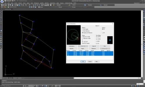
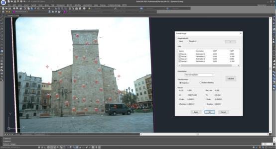
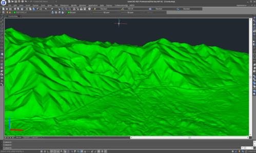
    We announce the compatibility of TcpMDT 8.5 with GStarCAD Professional  2021, offering users an interesting and cost-effective alternative solution to develop their surveying projects in CAD environment.

    GstarCAD is a CAD alternative with high compatibility with other platforms on the market. With nearly 30 years of continuous improvement and innovation, today GstarCAD is at the forefront of performance, stability, and other key indicators.

    This new option is available in the MDT installation for all users with current maintenance contracts and for newly acquired licenses.

    Surveying applications

    Announcement in GStarCAD web site

    Video

  • MDT for AutoCAD 2022 is here!

    MDT for AutoCAD 2022 is here!

    This update is free for all users with active subscription. You can get a full installation for all supported CAD versions from your private download area. In case you already have MDT8 or higher installed, you have to uninstall it first.

    Users of previous versions or without subscription can purchase an upgrade through their distributor.

    Advantages of subscription

    MDT8 features