Blog

  • Topcon Aplitop Online Webinars

    Topcon Aplitop Online Webinars

    You will see and experience the most productive workflow from Topcon and Aplitop when it comes to your Tunnel construction work. It’s a game-changer against your current workflow that you are applying to your projects right now.

    Robotic Total Station, Terrestrial Laser Scanner and Tunnel CAD: Field and Post Processing software will take you to the next level. We will use your design data of Road alignment and Tunnel template for the data collection, in order to work with the machines and to generate the reports semi-automatically.

    Let us show you how beneficial these solutions are and how it contribute to boost your productivity and improve your workflow.
    Register quickly as the seats are limited. See you at the webinar !!

    Download Flyer

    8th March: Tunnel Workflow with Robotic Total Station

    10th March: Tunnel Workflow with Terrestrial Laser Scanner

    Aplitop's Tunnel Applications

  • Christmas Technical Support

    Christmas Technical Support

    We wish you a Merry Christmas and a Happy New Year!

    We inform you that our company will be closed from December 24th to January 3rd.

  • We Help You in the Field and the Office

    We Help You in the Field and the Office

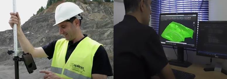
    Achieve maximum efficiency with Aplitop TcpGPS + TcpMDT complete solution. The data measured in the field is shared in the cloud so that the points, lines and digital model are automatically drawn in the office, including the photos and voice notes. In addition, all designs created in the office can be transferred to the field directly in DWG, LandXML and other standard formats for stakeout works.

    View Webinar

    TcpGPS

    Make in a simple and intuitive way surveys and stake out of plots, terrain and linear works, using base maps or cartography and web map services.

    It can be installed on Android phones and tablets, and it is compatible with any GNSS receiver with NMEA output.

    TcpGPS product page

    TcpMDT

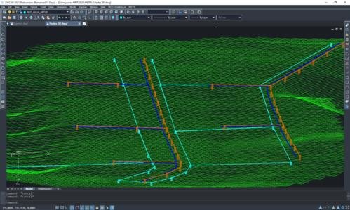
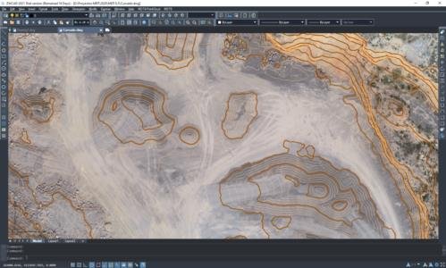
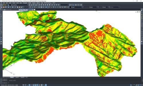
    Complete solution for all types of surveying projects, from the modeling of a plot to urbanizations, roads and other infrastructures. It also can be integrated into GIS and OpenBIM workflows.

    MDT is a CAD application that can be installed as a plugin on AutoCAD, BricsCAD or ZWCAD.

    TcpMDT product page

  • Holiday Notice

    We inform you that our offices will be closed next Monday, November 2 for a national holiday.

    We remind you that in the support area of our website and on our YouTube channel, you can find information and examples of use of our applications.

  • APLITOP obtains the recognition as Innovative Enterprise

    APLITOP obtains the recognition as Innovative Enterprise

    APLITOP obtains the recognition as Innovative SME granted by the Ministry of Science and Innovation, which is awarded to companies that have demonstrated their innovative character.

    We appreciate the collaboration of all the universities, research centers and partners of the consortia in which we have participated.

    Research lines and R&D projects


  • Release of TcpGPS 2.0

    Release of TcpGPS 2.0

    Annoucing version 2.0 of TcpGPS for Android, which includes a new, more intuitive user interface for tablets and smartphones and incorporates new features requested by our growing user base. Among others we can highlight:

    – Loading DWG cartography files, as well as KML, GML, shape…

    – New point code management, to facilitate automatic drawing

    – Measuring areas by selecting points

    – New data quality controls

    – New layout of the stakeout interface

    – Optimization of the loading of large files in road project

    Summary of new features

    Product page TcpGPS for Android

  • MDT now available for ZWCAD 2021

    MDT now available for ZWCAD 2021

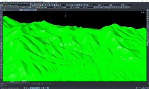
    We announce the availability of MDT 8.5 for ZWCAD 2021, a powerful, reliable and DWG compatible CAD solution. The improvements include an updated graphic engine, adjustable transparency, better 4K display, all-in-one reference, viewport layer management, formulas and more.

    MDT 8.5 offers more than 100 improvements such as a new module for the design of water, sewerage and other networks, OpenBIM file exchange with multiple IFC versions, integration with quantity take-off and budgets, connection with advanced map web services, powerful new editors and much more.

    Datasheet MDT for ZWCAD

    Download MDT for free

    Official press release ZWSOFT

  • Summer Holidays

    We inform you that our company will be closed for holidays from August 17th to 21st.

    For frequently asked questions related to technical support you can follow the following link:


  • Aplitop and Spectra Geospatial Collaborate on Tunneling Survey Solution

    Aplitop and Spectra Geospatial Collaborate on Tunneling Survey Solution

    Málaga, Spain. Aug. 4, 2020- Aplitop announced today a collaboration with Spectra Geospatial, an established brand known for delivering quality products to the survey, GIS and construction markets, to provide a comprehensive tunnel survey solution to increase productivity for survey service providers.  

    This collaboration provides surveyors and geospatial professionals with a complete hardware and software solution for performing efficient tunnel construction surveys. Combining the accuracy and speed of the Spectra® Focus® 35 robotic total station with the simple workflows of Aplitop TcpTUNNEL, running on the ST10 or Ranger 7 data collector, enables tunnel surveyors to perform excavation control, automated survey and stakeout of tunnel cross-sections. In the office, data and designs can be transferred seamlessly between TcpTUNNEL CAD, a plug-in for several CAD platforms, and TcpTUNNEL field software.

    The Spectra Geospatial and Aplitop solution provides a full featured workflow for tunnel constructions surveys including:

    – Definition of the project design elements such as alignments and templates that can be easily transferred between the field and office 

    – Efficient tunnel drill and blast setout as well as reporting on the difference to design positions

    – Automated data collection for the quality control of tunnel excavation process using cutting-edge tracking mode

    – Accurate stake out of key design features and anchor bolts along tunnel alignment

    – Graphical reporting of the differences between design and survey data to calculate over and underbreak volumes and areas to ensure design conformity

    “We are excited to partner with Spectra Geospatial to introduce a solution for tunnel construction professionals,” said Francisco Navarrete, general manager of Aplitop. “This combined solution enables professionals to leverage the speed and accuracy of Spectra Geospatial total stations with the simplicity of the TcpTUNNEL portfolio.”

    “Collaborating with Aplitop enables Spectra Geospatial to provide customers with a world-class tunneling solution to increase productivity working in underground environments,” said Olivier Casabianca, vice president of Spectra Geospatial. ”The combination improves the tunnel construction process by providing customers with increased confidence in the field and streamlining final deliverable creation in the office.”

    Availability

    The TcpTUNNEL software is available through the Aplitop international distributor network or the Spectra Geospatial global dealer network. For more information visit: www.aplitop.com or email: sales@aplitop.com. The FOCUS 35 total station, ST10 tablet and Ranger 7 data collector are available through the Spectra Geospatial global dealer network. For more information visit: www.spectrageospatial.com or email: sales@spectrageospatial.com. 

    About Spectra Geospatial

    Spectra Geospatial is an established brand known for delivering quality products to the survey, GIS and construction markets. Focusing on the specific needs of the conventional surveying market, the Spectra Geospatial brand offers a complete product portfolio including Global Navigation Satellite Systems (GNSS), optical total stations, data collection hardware, field and office software, as well as a wide range of construction tools.

    Spectra Geospatial surveying equipment is an economical choice that utilizes technologies for optimal efficiency. With convenience and reliability as the foundation of the Spectra Geospatial brand, it is an ideal choice for value. The Spectra Geospatial brand is backed with the strong technical support that users have come to expect from a quality name in surveying and construction.

     For more information visit: www.spectrageospatial.com or email: sales@spectrageospatial.com. 

  • Update yourself with the new version MDT8.5

    Update yourself with the new version MDT8.5

    Announcing the release of version 8.5 of TcpMDT, which includes a new module for the design of water, sanitation and other networks, OpenBIM file sharing with multiple IFC versions, integration with work units and budgets, connection with advanced web map services, powerful new editors, and many more.

    If you have never used MDT, now you have the opportunity to know its advantages, by clicking on the following button:

    NEW USERS

    If you are already a user of a previous version of MDT and want to discover the new features that MDT 8.5 offers and experience its functionalities to develop your projects, click on the following link:

    USERS OF PREVIOUS VERSIONS