Blog

  • tcpMDT 25 for progeCADยฎ Professional 2026

    tcpMDT 25 for progeCADยฎ Professional 2026

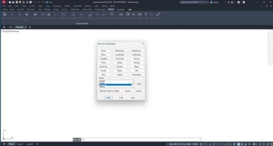
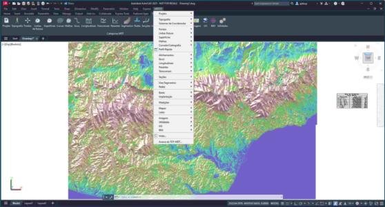
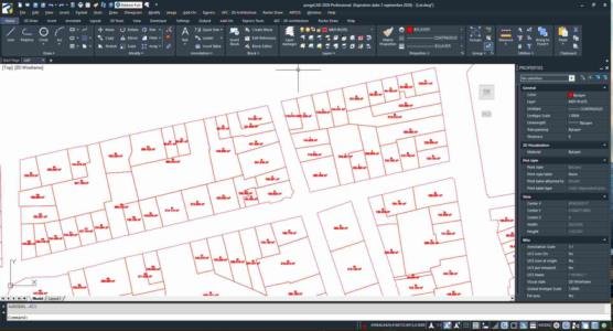
    The new version of tcpMDT 25 for progeCAD® 2026 is now available. The combination of tcpMDT with this software will help you improve the performance of your surveying projects.

    Support for progeCAD® 2026 is free for all users with a current maintenance contract.

    Links of interest

    ๐Ÿ”— What's New in tcpMDT 25

    ๐Ÿ”— What’s New in progeCAD® 26

  • Discover the Aplitop Ecosystem: The Complete Solution for your Surveying and Engineering Projects

    Discover the Aplitop Ecosystem: The Complete Solution for your Surveying and Engineering Projects

    At Aplitop, we offer a comprehensive ecosystem of integrated solutions that supports professionals in surveying, civil engineering, and construction throughout every phase of their projects — from reality capture, through data processing and cartography, to project design and setting out.

    1. Reality Capture

    The process begins with data collection in the field. With our tcpGPS for Android™ application, we make data collection and setting out easier by connecting to GNSS receivers from multiple brands, ensuring a flexible, fast, and accurate experience.

    In addition, the Aplitop ecosystem includes solutions for managing data from total stations, point clouds, and images captured by drones or 3D scanners, allowing you to adapt to any environment, whether urban or rural, with detailed and reliable results.

    2. Data Processing and Cartography

    Once the data is captured, we move on to processing. Using tcpMDT, our users can quickly generate digital terrain models (DTMs), along with longitudinal and cross profiles, contour lines, surfaces, and technical cartography. All of this is done in a CAD environment, which facilitates editing and integration with other platforms.

    When working with point clouds obtained via LiDAR, static scanners, SLAM, or photogrammetry, our tcp PointCloud Editor tool allows users to view, edit, classify, and draw directly on the point clouds. This solution is fully interoperable with tcpMDT, enabling a consistent and efficient workflow.

    3. Project Design and Setting Out

    With the data processed, the Aplitop ecosystem focuses on designing the final terrain solution. This includes generating detailed plans, 3D models, earthwork volume calculations, measurements, and the creation of custom reports.
    These tools not only streamline field staking tasks, but also enable precise control over project execution, adapting to the standards and requirements of each job.

    4. What are the benefits of the Aplitop ecosystem?

    Incorporating our solutions into your workflow will allow you to optimize resources and improve results from day one. Our user-focused approach delivers real value through:

    โ–ถSpecialized technical support

    โ–ถ Access to updates and improvements

    โ–ถ Interoperability between solutions

    Whether you work in civil engineering, urban planning, mining, environmental management, or solar energy, Aplitop solutions are present in a wide range of industries. You can check them here: Solutions by Industry.

    5. Useful Links to the Aplitop Ecosystem

    To help you explore each of our solutions in more depth, here are some key resources on the tools that make up the Aplitop ecosystem:

    ๐Ÿ”— Surveying Applications – tcpMDT
    ๐Ÿ”— Field Applications – tcpGPS
    ๐Ÿ”— Point Cloud Applications – tcp PointCloud Editor
    ๐Ÿ”— Webinar | tcpMDT 25: Discover the Leading Civil Solution for Surveying and Engineering
    ๐Ÿ”— Success Stories from the Aplitop Application Ecosystem

    6. Want to learn how to apply our solutions in your next project?

    We’re here to help. Get in touch with our team for personalised guidance on the Aplitop ecosystem.

    ๐Ÿ‘‰ Contact Us

  • tcpMDT PV: Terrain Adaptable Trackers

    tcpMDT PV: Terrain Adaptable Trackers

    What is tcpMDT Photovoltaic?

    TcpMDT PV is a software that runs as a complement to CAD applications, allowing the minimization of land movement, as well as the realization of measurements and the staking out of solar trackers. Aplitop, true to its philosophy, offers this tool to monetize the most complex land and assist in the design of photovoltaic plants.

    In addition, it facilitates decision-making at a crucial stage: the optimization and accurate calculation of earthworks.

    Highlighted features

    ๐Ÿ†• Compatibility with tcpMDT 25.
    ๐Ÿ†• Support of ground adaptive trackers.
    ๐Ÿ†• Exclusion of regions with minimal earthwork.
    ๐Ÿ†• New options for automatic distribution.
    ๐Ÿ†• Consideration of islands in design surfaces.

    You can learn about the rest of the new features and changes in the change history document.

    Want to learn more?

    If you want to learn more about this new version, below, we share a series of links of interest:

    ๐Ÿ”— Request TcpMDT PV quotation

    ๐Ÿ”— Request a demo of TcpMDT PV

    ๐Ÿ”— Discover the TcpMDT PV page

  • tcp PointCloud Editor: Vertical Element Detection and Automatic Classification Optimization

    tcp PointCloud Editor: Vertical Element Detection and Automatic Classification Optimization

    What is tcp PointCloud Editor?

    tcp PointCloud Editor is an AI-powered point cloud software for surveying, engineering, architecture, and design. It enables 3D modeling and processing point clouds from fixed or SLAM scanners, LiDAR, photogrammetry, and mobile applications.

    What are the latest software updates and enhancements?

    Below, we share a selection of the main new features of tcp PointCloud Editor:

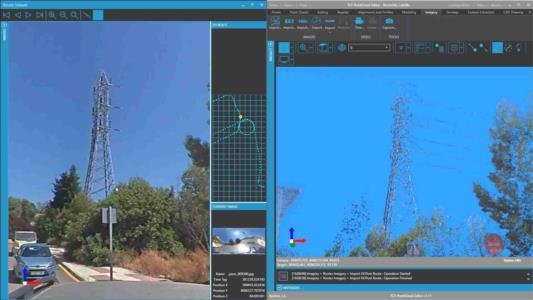
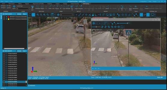
    ๐Ÿ†• Import of spherical images

    ๐Ÿ†• A new automatic classification model for exteriors at 10 cm.

    ๐Ÿ†• Import of Stonex X200Go+GOPost paths. ๐ŸŽฅ Video available

    ๐Ÿ†• XGrids support. ๐ŸŽฅ Video Available

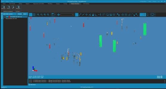
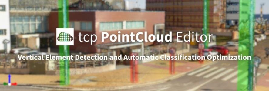
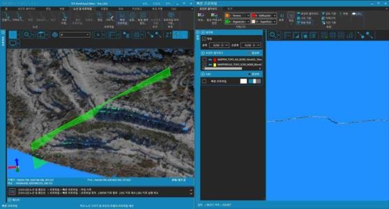
    ๐Ÿ†• Vertical element detection. ๐ŸŽฅ Video Available

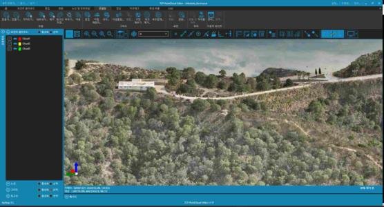
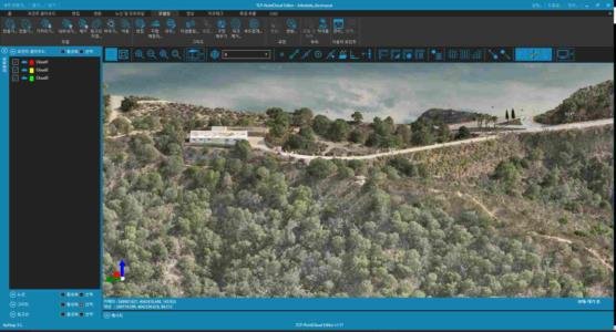
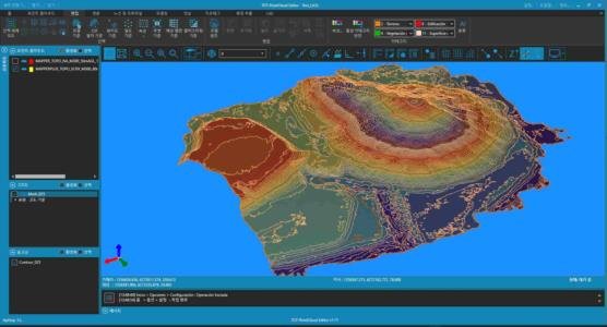
    ๐Ÿ†• Korean user interface. ๐Ÿ“ Post Available

    For more information, please refer to the change history document.

    Useful links

    ๐Ÿ”— tcp PointCloud Editor Product Page

    ๐Ÿ”— Promotional Video of tcp PointCloud Editor

    ๐Ÿ”— tcp PointCloud Editor Playlist

    ๐Ÿ”— Request a Quote for tcp PointCloud Editor

    ๐Ÿ”— Download the Demo of tcp PointCloud Editor

  • tcp PointCloud Editor: Now Available in Korean

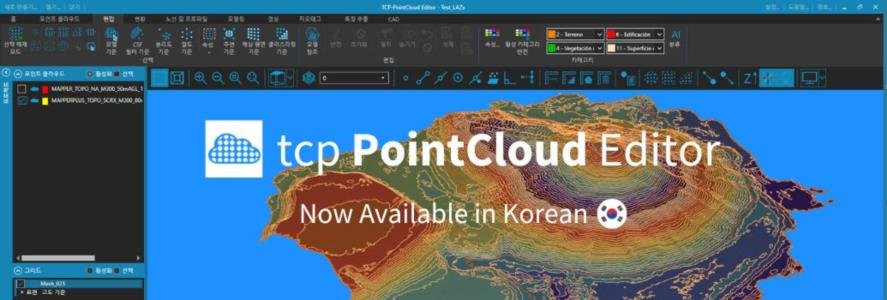
    tcp PointCloud Editor: Now Available in Korean

    We are pleased to announce that the tcp PointCloud Editor, our AI-powered point cloud software for surveying, engineering, architecture, and design, is now available in Korean. Starting today, users in South Korea can enjoy a more convenient and intuitive experience with fully translated menus, messages, help, and documentation.

    What is tcp PointCloud Editor?

    tcpPointCloud Editor is Aplitop's solution for processing, publishing, and working with point clouds from fixed scanners, SLAM, LiDAR, and photogrammetry.

    What does the Korean version include?

    โ–ถ 100% translated menus and dialogue boxes.

    โ–ถ Context-sensitive help and error messages in Korean.

    โ–ถ With this update, our goal is to make our cutting-edge technology more accessible to South Korean professionals, encourage the adoption of point cloud-based workflows, and increase the productivity of their projects.

    How to set up Korean language?

    โ–ถ  Open tcpPointCloud Editor.

    โ–ถ  Go to “Settings” → “Language”.

    โ–ถ  Select “ํ•œ๊ตญ์–ด (Korean)” and restart the application.

    Now, all the interface and help will be in Korean.

    Discover links of interest about tcp PointCloud Editor

    ๐Ÿ”— tcp PointCloud Editor Product Page

    ๐Ÿ”— Distributor BSLUMT

    ๐Ÿ”— tcp PointCloud Editor Playlist

  • A Complete Guide to Generating Floor Plans from Point Clouds Efficiently

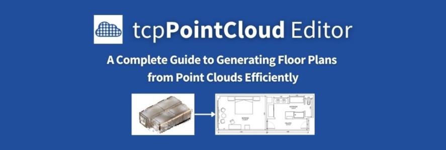
    A Complete Guide to Generating Floor Plans from Point Clouds Efficiently

    If you prefer, you can read the article in PDF here: A Complete Guide to Generating Floor Plans from Point Clouds Efficiently

    The preparation of floor plans from scanned point clouds is an essential process in rehabilitation projects, heritage documentation and Scan-to-BIM processes. This article describes a complete workflow that transforms a dense point cloud into an accurate, editable 2D representation in CAD, ideal for architects, engineers, and technicians working in built environments.

    The screenshots are made with Aplitop's tcp PointCloud Editor, but the procedures could be applied in any point cloud software. The data from the scanned clouds is courtesy of Leica Geosystems Spain.

    1. General Workflow

    The process begins with capture using terrestrial laser scanners or SLAM handheld scanners, generating a three-dimensional point cloud. The ultimate goal is to generate a vector floor plan with reliable information about structural geometries and architectural elements. The flow is structured in the following stages:

    Figure 1. General Workflow

    2. Data Import

    The usual input formats are LAS/LAZ, E57 or files in proprietary format exported from scanners. When importing, it is essential to preserve RGB color, and attributes such as intensity, distance to the scanner, and normals, if available. 

    In addition, it is advisable to import the associated images captured by the scanner, to facilitate visual recognition during editing. 

    The software should allow you to visualize the cloud with inspection, cropping, and logging tools if you are dealing with multiple scans.

    Figure 2. Point cloud and imported images

    3. Cloud Cleanup

    The quality of a scanned point cloud can be compromised by noise, isolated points, and low-density areas, making downstream processes such as classification and vectorization difficult. To ensure an accurate and efficient database, the following cleaning techniques are applied:

    3.1 Removal of points outside the area of interest

    Hand tools are used to cut out points that are outside the spatial boundaries defined for the project, such as areas outside the building or non-relevant levels.

    3.2 Elimination of isolated points

    Statistical filters, such as Statistical Outlier Removal (SOR), are used to analyze the average distance of each point to its nearest neighbors. Points whose average distance exceeds a defined threshold are considered outliers and are eliminated. 

    3.3 Suppression of low-density areas

    Areas with low point density may indicate unreliable data or noise. Local density analysis techniques are applied to identify and eliminate these regions, thus improving the uniformity of the cloud.

    The combination of these automatic and manual methods allows you to obtain a clean point cloud ready for the next stages of the workflow.

    Figure 3. Cleaning of points outside the area of interest

    4. Classification of Points 

    Point cloud classification is critical for identifying and segmenting architectural elements such as walls, floors, ceilings, doors, and windows. This process facilitates the generation of accurate and detailed models of buildings.

    4.1 Traditional geometric methods

    Geometric approaches are based on the detection of structural features using algorithms such as RANSAC (Random Sample Consensus), which allows the identification of predominant planes in the point cloud, commonly associated with elements such as walls and floors. These methods are effective in environments with well-defined and less complex geometries.

    4.2 Machine learning-based approaches

    Machine learning methods, such as deep neural networks, have proven effective in semantic classification of point clouds. These approaches allow different architectural components to be automatically identified and labeled, even in environments with complex geometries or incomplete data.

    4.3 Practical considerations

    The choice of classification method depends on several factors, including the quality of the point cloud, the complexity of the environment, the performance of the software, and the available computational resources. A combination of geometric and machine learning methods can work well, although manual editing will almost always be necessary.

    Figure 4. Points automatically classified and edited later

    5. Filtering categories of interest

    After the classification of points, it is advisable to establish the representation of the cloud with a color based on its category, for a more intuitive interpretation.

    Then, only those that should appear on the floor plan are left visible. Typically, the following are selected:

    โ–ถ Intersections of walls with the horizontal plane

    โ–ถ Door and window openings

    โ–ถ Columns and pillars

    Categories such as floor, ceiling, furniture, unclassified objects and other elements that are not part of the main architectural structure are often hidden.

    Figure 5. Cloud floor plan view with some categories hidden

    6. Automatic vectorization

    A horizontal section is then generated at a certain height (e.g. 1.00 or 1.20 m) to obtain a more accurate projection.

    The filtered cloud is converted into vector geometries (lines, polylines) using edge detection and geometric fitting algorithms. 

    The quality of the result depends on point density and sharpness of the edges in the cloud.

    Figure 6. Editing of vectorized lines generated automatically

    7. Manual editing

    The edit phase allows you to review, correct, or complete automatically generated entities. Although vectorization algorithms can offer good results, it is common to find imperfections, omissions, or incomplete geometries that need to be refined to ensure the accuracy of the plane.

    Typical tasks include:

    โ–ถ Adjustment of polylines to incomplete walls: joining segments that do not intersect or extending lines to reach other architectural references.

    โ–ถ Redundant entity removal: Cleaning up duplicates, overlapping lines, or strokes that don't add value to the rendering.

    โ–ถ Continuity verification and contour closure: verification that the geometries that represent rooms or closed areas are well defined.

    In this phase, annotations, dimensions, textual references or symbols can also be incorporated according to the graphic standard of the project.

    Advanced CAD tools allow you to apply geometric constraints such as perpendicularity, parallelism, or alignment, making it easy to accurately and consistently edit the final drawing. This fine control is especially relevant in environments with orthogonal geometries or strict presentation regulations.

    8. Export

    In CAD environments, the vectorized plan can be exported as a DWG or DXF file, allowing it to be edited later to add dimensions, furniture and other details.

    Figure 7. Final CAD drawing

    The 2D polylines created in the vectorization stage can be moved to their real level on each level of the building, and then vertically extruded according to the height of each floor, generating 3D polylines that will serve as the basis for the creation of a digital twin.

    Geometric information can also be imported into GIS flows, adding additional attributes for spatial analysis or cadastral management.

    For BIM environments, vector entities can be converted into parametric objects for integration into platforms such as Revit, Archicad or Allplan.

    9. Conclusions

    Transforming a scanned point cloud into a vector floor plan is a process that combines automation and expert technical intervention. The availability of classification algorithms, intelligent vectorization, and accurate editing has made this workflow more accessible and robust.

    Understanding and mastering each of the phases is essential to achieve professional and reliable results, maximizing productivity through the use of appropriate tools.

    By Francisco Navarrete Mandly
  • tcpMDT 25 Available in Portuguese

    tcpMDT 25 Available in Portuguese

    We are pleased to announce that the new version of tcpMDT 25 is now available with Portuguese interface and documentation.

    With tcpMDT 25 in Portuguese, you will be able to take full advantage of all the new features of the release and its different modules.

    Useful links:

    Download demo in Portuguese

    Request a quote in Portuguese


  • How to Generate a Digital Terrain Model from a LiDAR Point Cloud

    How to Generate a Digital Terrain Model from a LiDAR Point Cloud

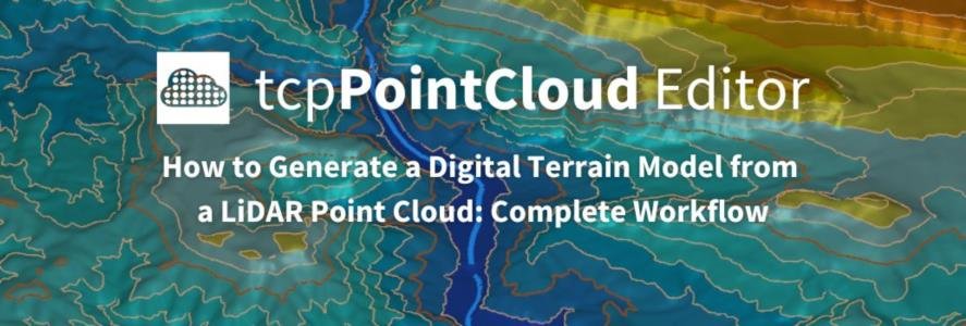
    LiDAR News selected this article, in which we demonstrate a complete workflow for generating an accurate digital terrain model (DTM) from a point cloud, step by step.

    Generating digital terrain models is essential to many geospatial engineering projects, ranging from environmental studies to infrastructure planning. Although the process may seem straightforward, it actually involves several technical phases with key decisions at each stage.

    ๐Ÿ‘‰ Read the full article here


  • tcpGPS for Android: Compatible with Android 15

    tcpGPS for Android: Compatible with Android 15

    What is tcpGPS for Android™?

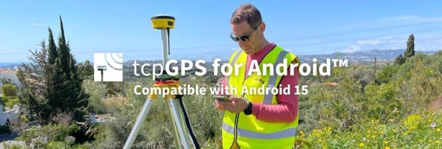
    tcpGPS is a field application for data acquisition and stakeout of plots, urban areas and infrastructures with GPS/GNSS receivers. It runs on smartphones and tablets with Android operating system.

    What are the highlights of the latest update?

    ๐Ÿ†• Added full compatibility with Android 15

    ๐Ÿ†• Export of points to TopoGIS format

    ๐Ÿ†• Added compatibility with General Laser BluetoothLE receivers (GLRM-POLE & GLRM-PHONE)

    For more information, you can access the change history document.

    Want to know more?

    If you want to learn more about this new version, below, we share links of interest:

    ๐Ÿ”— Request quote for tcpGPS for Android

    ๐Ÿ”— Request demo of tcpGPS for Android

    ๐Ÿ”— Discover the product page of tcpGPS for Android

  • tcpMDT for ZWCAD 2026

    tcpMDT for ZWCAD 2026

    From the Aplitop team, we announce the availability of tcpMDT 25 for ZWCAD 2026, the combination of both tools will help you to take one step further in the productivity of your surveying and civil engineering projects.

    For more information about ZWCAD 2026

    If you want to see all the changes in depth, click on the link below to access the product page. Support for ZWCAD 2026 is free for all users with current maintenance.

    ๐Ÿ‘‰ ZWCAD 2026 Product Page

    For more information about TcpMDT 25

    If you are interested in tcpMDT 25 and want to learn more, click on the following link to find out more.

    ๐Ÿ‘‰ tcpMDT 25 Product Page

    If you have any questions about the powerful combination between ZWCAD 2026 and our applications, please click here ๐Ÿ‘‰ Contact us